
Itabashihoncho Station
I19 · Mita Line · Itabashi
Itabashihoncho Station (板橋本町)
The station was going to be called Yamatocho, after the district it stands in and after the tram stop that served the spot on the old Shimura route. The name was dropped during planning because through running with the Tobu Tojo Line was then on the table, and that line already had a Yamatomachi – the station now called Wakoshi – so Itabashihoncho was chosen instead. It opened on 27 December 1968 with the first section of Toei’s Line 6, renamed the Mita Line in 1978, and is numbered I19.
Two side platforms sit under the crossing of the Nakasendo and the Kannana ring road, with the Metropolitan Expressway running above the surface road – a three-layer stack of traffic at one junction. The connecting passage between the platforms is inside the ticket barriers, at the Nishi-takashimadaira end of both. Toei counted 37,555 entries and exits on an average day in 2024, and trains from here run through beyond the subway onto the Tokyu and Sotetsu networks.
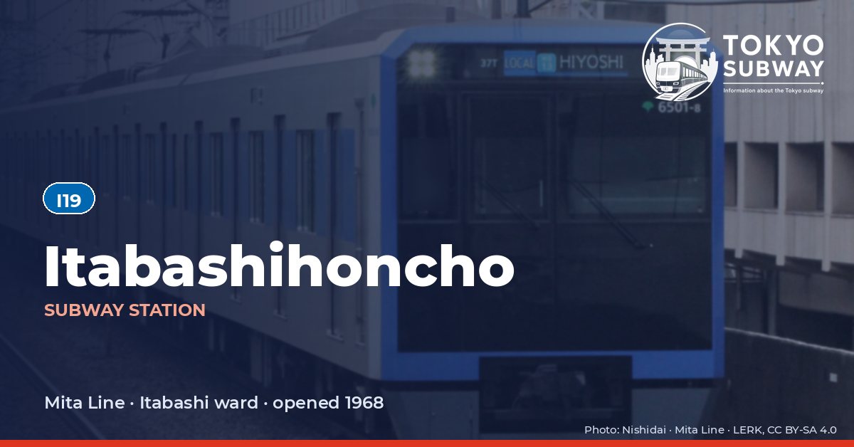
Finding Itabashihoncho on the signs
Every line gives the station its own letter-and-number code. You never have to read the Japanese name to find the right platform.
Station numbers at Itabashihoncho
Tokyo signposts every platform, exit and train door with a letter and a two-digit number. Matching the number is faster than reading the name — and it is what you will see on the map, in announcements and on the platform edge.
First and last trains at Itabashihoncho
Departure times come from the operators’ own GTFS timetables (ODPT GTFS Toei-Train-GTFS (version 20261009, valid 2026-03-14..2027-03-12) + TokyoMetro-Train-GTFS (version 20261008, valid 2026-09-19..2027-03-12)). Japan publishes two subway timetables: 平日 weekdays and 土休日 Saturdays, Sundays and national holidays. There is no separate Sunday timetable, and the December 30 – January 3 period runs the holiday timetable.
How often do trains run?
| Line | Weekdays, busiest hour | Sat / Sun / holidays, busiest hour |
|---|---|---|
| IMita | 19 trains/hour (about one every 3.2 min) | 11 trains/hour |
Departures in one direction during the hour with the most trains at this station, counted in the operators’ timetable.
Next stations from Itabashihoncho
Scheduled running time between Itabashihoncho and the stations either side of it.
| Line | Next station | Running time |
|---|---|---|
| IMita | I18Itabashi-kuyakushomae | 2 min |
| IMita | I20Motohasunuma | 1 min |
Transfers and connections
Only the Mita Line stops here, and no other railway serves this station, so there is nothing to transfer to inside the station.
Accessibility
| Line | Step-free by elevator | Accessible toilet | Escalator | Exits |
|---|---|---|---|---|
| IMita | Yes | Yes | Yes | 4 |
- Mita Line: Toei: step-free “1-route” secured; 2 elevator(s) on this line. Elevator exit(s): A1, A3. Operator page (checked Oct 20, 2026).
Taken from the operators’ own accessibility pages and nothing else. Toei: every station has elevators and a street-gate-platform “1-route” is secured.
What is near Itabashihoncho Station?
The Teikyo University campus, its medical school hospital and its affiliated schools form a cluster a short way from the station, and much of the daily traffic is students and hospital visitors; Meirikai Tokyo Yamato Hospital is about 70 m from an exit. Toyo University’s sports centre is nearby, and the Dagashiya Game Museum, a collection of old penny-arcade machines, sits around 400 m away. Chiseiji is roughly 300 m off, and small parks, a supermarket and the ward’s archives fill the blocks between.
| Place | Distance (straight line) | On foot, estimated |
|---|---|---|
| 智清寺 | 300 m | about 5 min |
| Dagashiya Game Museum 駄菓子屋ゲーム博物館 | 400 m | about 6 min |
| YUMEパーク大和町 | 40 m | about 1 min |
| シティプラザ富士見町公園 | 300 m | about 5 min |
| 本町にぎわい広場 | 320 m | about 5 min |
| Mizuho みずほ銀行 | 50 m | about 1 min |
| Nissan 日産プリンス東京 | 300 m | about 5 min |
| Meirikai Tokyo Yamato Hospital 明理会東京大和病院 | 70 m | about 1 min |
Places from OpenStreetMap within 400 m of the station. The walking time is an estimate (straight line plus 30 %, 80 m a minute), not a measured route. © OpenStreetMap contributors, ODbL.