
Itabashi-kuyakushomae Station
I18 · Mita Line · Itabashi
Itabashi-kuyakushomae Station (板橋区役所前)
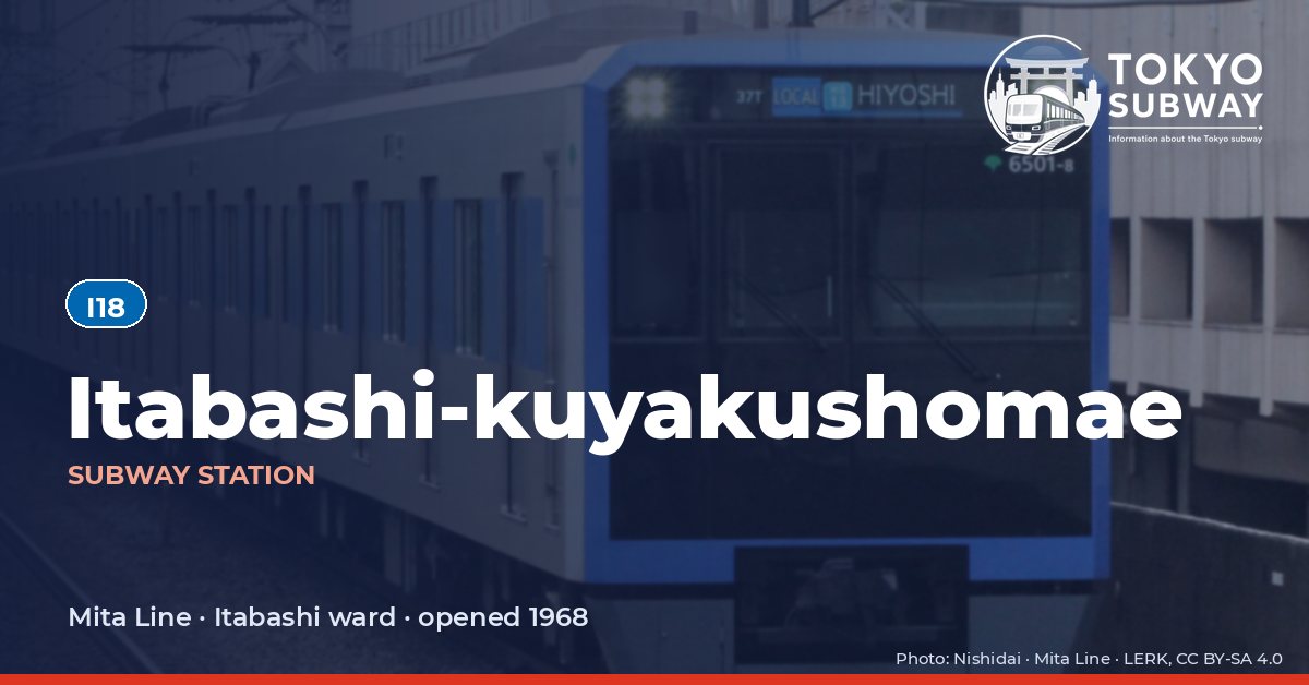
The name says exactly what the station is for: in front of the Itabashi ward office, which stands about 90 m away and is joined to the station by an underground passage. Toei opened it on 27 December 1968 with the first section of Line 6, renamed the Mita Line ten years later, and numbered it I18.
It is a small station for a ward headquarters, with two side platforms and no entrance on one side of Yamate-dori. That gap was deliberate: when the station was designed, the Itabashi junction of the Metropolitan Expressway’s Central Circular Route and a road underpass were planned overhead, and the layout had to leave room for both. A refurbishment from around 2003 replaced the tiled walls with panels in the same colours and brightened the platforms. Toei counted 35,514 entries and exits a day in 2024. Trains from here run through beyond the subway onto the Tokyu and Sotetsu networks at the southern end of the line.
Finding Itabashi-kuyakushomae on the signs
Every line gives the station its own letter-and-number code. You never have to read the Japanese name to find the right platform.
Station numbers at Itabashi-kuyakushomae
Tokyo signposts every platform, exit and train door with a letter and a two-digit number. Matching the number is faster than reading the name — and it is what you will see on the map, in announcements and on the platform edge.
First and last trains at Itabashi-kuyakushomae
Departure times come from the operators’ own GTFS timetables (ODPT GTFS Toei-Train-GTFS (version 20261009, valid 2026-03-14..2027-03-12) + TokyoMetro-Train-GTFS (version 20261008, valid 2026-09-19..2027-03-12)). Japan publishes two subway timetables: 平日 weekdays and 土休日 Saturdays, Sundays and national holidays. There is no separate Sunday timetable, and the December 30 – January 3 period runs the holiday timetable.
How often do trains run?
| Line | Weekdays, busiest hour | Sat / Sun / holidays, busiest hour |
|---|---|---|
| IMita | 19 trains/hour (about one every 3.2 min) | 11 trains/hour |
Departures in one direction during the hour with the most trains at this station, counted in the operators’ timetable.
Next stations from Itabashi-kuyakushomae
Scheduled running time between Itabashi-kuyakushomae and the stations either side of it.
| Line | Next station | Running time |
|---|---|---|
| IMita | I19Itabashihoncho | 2 min |
| IMita | I17Shin-itabashi | 1 min |
Transfers and connections
Only the Mita Line stops here, and no other railway serves this station, so there is nothing to transfer to inside the station.
Accessibility
| Line | Step-free by elevator | Accessible toilet | Escalator | Exits |
|---|---|---|---|---|
| IMita | Yes | Yes | Yes | 3 |
- Mita Line: Toei: step-free “1-route” secured; 3 elevator(s) on this line. Elevator exit(s): A1, A3. Operator page (checked Oct 20, 2026).
Taken from the operators’ own accessibility pages and nothing else. Toei: every station has elevators and a street-gate-platform “1-route” is secured.
What is near Itabashi-kuyakushomae Station?
Itabashi City Hall is the nearest building of any size, about 90 m from the exits, with the ward police station roughly 120 m away and the tax office, health centre and Hikawa library in the same cluster. The Nakajuku shopping street, part of the old Nakasendo post town, runs close by, and Nakajuku Fureai Hiroba Park is around 270 m from the gates. Kanmyoji stands about 330 m off and Koyasu-jinja near the 400 m mark; the Uemura Adventure Museum and the Kaga sports centre are also within walking distance.
| Place | Distance (straight line) | On foot, estimated |
|---|---|---|
| Kanmyoji 観明寺 | 330 m | about 5 min |
| 宗仙寺 | 280 m | about 4 min |
| Nakajuku Fureai Hiroba Park 仲宿ふれあい広場 | 270 m | about 4 min |
| Koyasu-jinja Shrine 子易神社 | 400 m | about 6 min |
| en∞juku | 270 m | about 4 min |
| 板橋第二公園 | 350 m | about 6 min |
| Itabashi City Hall 板橋区役所 | 90 m | about 1 min |
| Itabashi Police Station 板橋警察署 | 120 m | about 2 min |
Places from OpenStreetMap within 400 m of the station. The walking time is an estimate (straight line plus 30 %, 80 m a minute), not a measured route. © OpenStreetMap contributors, ODbL.