Kanda Station
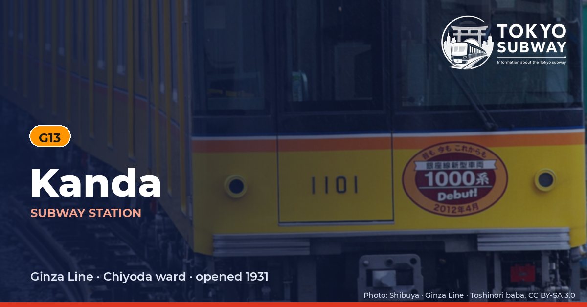
G13 · Ginza Line · Chiyoda
Kanda Station (神田)
The subway platform at Kanda opened on 21 November 1931, when the Tokyo Underground Railway pushed its line south from Suehirocho, twelve years after the railway above had arrived. It is a plain island platform with two tracks, G13, numbered trains toward Ginza and Shibuya on one side and toward Ueno and Asakusa on the other, and six entrances, of which two feed straight into the JR station on Chuo-dori.
Since 2015 the departure melody has been Hibari Misora’s Omatsuri Mambo, a song about a festival in the old shitamachi. The station’s one trap for visitors is geographic: Awajicho on the Marunouchi Line and Ogawamachi on the Toei Shinjuku Line are around 300 m away, close enough to look like an interchange on a map, but there is no passage and no official transfer between them and Kanda. Tokyo Metro counted 56,868 entries and exits a day in the 2025 survey, a figure that covers the subway alone.
Finding Kanda on the signs
Every line gives the station its own letter-and-number code. You never have to read the Japanese name to find the right platform.
Station numbers at Kanda
Tokyo signposts every platform, exit and train door with a letter and a two-digit number. Matching the number is faster than reading the name — and it is what you will see on the map, in announcements and on the platform edge.
First and last trains at Kanda
Departure times come from the operators’ own GTFS timetables (ODPT GTFS Toei-Train-GTFS (version 20261009, valid 2026-03-14..2027-03-12) + TokyoMetro-Train-GTFS (version 20261008, valid 2026-09-19..2027-03-12)). Japan publishes two subway timetables: 平日 weekdays and 土休日 Saturdays, Sundays and national holidays. There is no separate Sunday timetable, and the December 30 – January 3 period runs the holiday timetable.
How often do trains run?
| Line | Weekdays, busiest hour | Sat / Sun / holidays, busiest hour |
|---|---|---|
| GGinza | 27 trains/hour (about one every 2.2 min) | 20 trains/hour |
Departures in one direction during the hour with the most trains at this station, counted in the operators’ timetable.
Next stations from Kanda
Scheduled running time between Kanda and the stations either side of it.
| Line | Next station | Running time |
|---|---|---|
| GGinza | G12Mitsukoshimae | 1 min |
| GGinza | G14Suehirocho | 2 min |
Transfers and connections
- JR: Chuo Rapid Line (JR East), Keihin-Tohoku-Negishi Line (JR East), Yamanote Line (JR East). These are separate railways with their own fares.
Accessibility
| Line | Step-free by elevator | Accessible toilet | Escalator | Exits |
|---|---|---|---|---|
| GGinza | Yes | Yes | Not listed | 6 |
- Ginza Line: Step-free elevator route street-gate-platform (official “1-route by elevator”). Street elevator at exit(s): 1, 6. Operator page (checked Oct 20, 2026).
Taken from the operators’ own accessibility pages and nothing else. Tokyo Metro: the “1-route” (step-free street-gate-platform path by elevator, slope, stair lift or wheelchair escalator) is complete at all 180 stations; a separate list shows stations with an elevator-only 1-route.
What is near Kanda Station?
The six elevated JR tracks and the brick viaduct arches under them set the character of the streets here, lined with small restaurants and bars. Kanda Matsuya, a soba house, is about 330 m from an exit and Isegen, which serves monkfish, roughly 350 m. Chiyoda Elementary School is around 230 m away, the Zemaitis guitar museum about 70 m, and Mansei Bridge, with the storytelling hall Kanda Renjakutei beyond it, near the 380 m mark. Akihabara’s shops begin a short walk along Chuo-dori.
| Place | Distance (straight line) | On foot, estimated |
|---|---|---|
| Kanda Renjakutei 神田連雀亭 | 380 m | about 6 min |
| Mansei Bridge 万世橋 | 380 m | about 6 min |
| Zemaitis Museum | 70 m | about 1 min |
| マンボー漫画喫茶 出口(西口) | 240 m | about 4 min |
| マンボー漫画喫茶 | 250 m | about 4 min |
| 神田児童公園 | 280 m | about 5 min |
| 真徳稲荷神社 | 280 m | about 5 min |
| 佐竹稲荷神社 | 310 m | about 5 min |
Places from OpenStreetMap within 400 m of the station. The walking time is an estimate (straight line plus 30 %, 80 m a minute), not a measured route. © OpenStreetMap contributors, ODbL.