
Gyotoku Station
T20 · Tozai Line · Ichikawa, Chiba
Gyotoku Station (行徳)
Gyotoku opened on 29 March 1969, out on the Chiba side of the Tozai Line where the railway runs on a viaduct, and the land it stands on used to be the Gyotoku salt fields. The platforms curve very slightly outward toward their centre, which is not a trick of the eye: space was left when the line was built for passing loops to be added here later. They never were, because Myoden and Baraki-nakayama further along got them instead, and the staircases still stand away from the wall with a passage behind them.
Myoden also changed the station’s fortunes. Until it opened in January 2000, trains starting and finishing at the Tokyo end of the line did so here, and Gyotoku carried more passengers than Urayasu, a rapid stop; both the turnback services and a chunk of the traffic transferred to the new station. The 2025 survey still records 56,188 entries and exits a day. Solar panels went up on 27 March 2014 with a maximum output of 108 kW, departure melodies followed in June 2015, a shopping arcade opened under the viaduct in June 2023 and platform doors came into use on 26 July 2025.
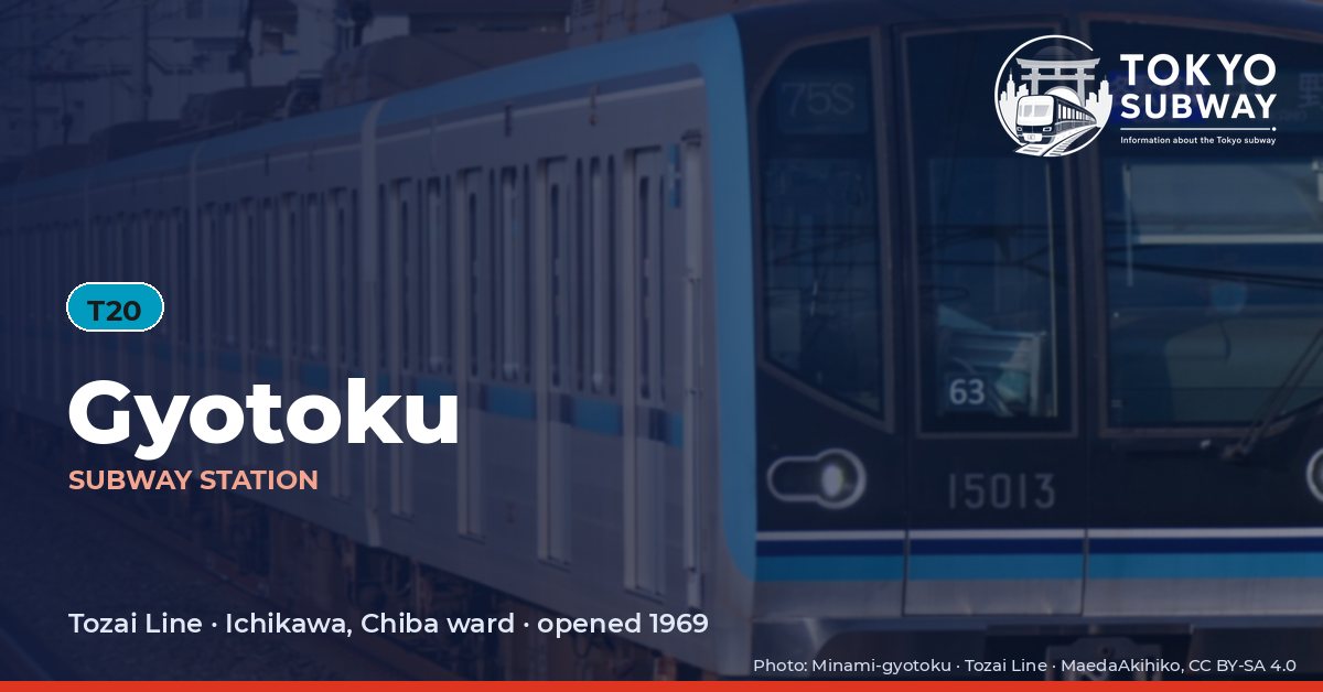
Finding Gyotoku on the signs
Every line gives the station its own letter-and-number code. You never have to read the Japanese name to find the right platform.
Station numbers at Gyotoku
Tokyo signposts every platform, exit and train door with a letter and a two-digit number. Matching the number is faster than reading the name — and it is what you will see on the map, in announcements and on the platform edge.
First and last trains at Gyotoku
Departure times come from the operators’ own GTFS timetables (ODPT GTFS Toei-Train-GTFS (version 20261009, valid 2026-03-14..2027-03-12) + TokyoMetro-Train-GTFS (version 20261008, valid 2026-09-19..2027-03-12)). Japan publishes two subway timetables: 平日 weekdays and 土休日 Saturdays, Sundays and national holidays. There is no separate Sunday timetable, and the December 30 – January 3 period runs the holiday timetable.
How often do trains run?
| Line | Weekdays, busiest hour | Sat / Sun / holidays, busiest hour |
|---|---|---|
| TTozai | 16 trains/hour (about one every 3.8 min) | 12 trains/hour |
Departures in one direction during the hour with the most trains at this station, counted in the operators’ timetable.
Next stations from Gyotoku
Scheduled running time between Gyotoku and the stations either side of it.
| Line | Next station | Running time |
|---|---|---|
| TTozai | T19Minami-gyotoku | 2 min |
| TTozai | T21Myoden | 2 min |
Transfers and connections
Only the Tozai Line stops here, and no other railway serves this station, so there is nothing to transfer to inside the station.
Accessibility
| Line | Step-free by elevator | Accessible toilet | Escalator | Exits |
|---|---|---|---|---|
| TTozai | Yes | Yes | Yes | 2 |
- Tozai Line: Step-free elevator route street-gate-platform (official “1-route by elevator”). Operator page (checked Oct 20, 2026).
Taken from the operators’ own accessibility pages and nothing else. Tokyo Metro: the “1-route” (step-free street-gate-platform path by elevator, slope, stair lift or wheelchair escalator) is complete at all 180 stations; a separate list shows stations with an elevator-only 1-route.
What is near Gyotoku Station?
The area immediately outside is called Gyotoku-ekimae, with a plaza and bus stands on one side of the gates and a police box and taxi rank on the other, and the shopping street running beneath the viaduct. Benten Park is about 150 m from the station and Minamine Park roughly 200 m; the Ichikawa city office branch and the Gyotoku library both stand near the 400 m mark, with Hoden-ji temple around 330 m away. Buses from the station include a limousine service for airport journeys.
| Place | Distance (straight line) | On foot, estimated |
|---|---|---|
| 法伝寺 | 330 m | about 5 min |
| 行徳駅前公園 | 370 m | about 6 min |
| 善照寺 | 390 m | about 6 min |
| 弁天公園 | 150 m | about 2 min |
| 南根公園 | 200 m | about 3 min |
| Mizuho Bank みずほ銀行 | 90 m | about 2 min |
| 市川市立新浜小学校 | 350 m | about 6 min |
| 安藤病院 | 200 m | about 3 min |
Places from OpenStreetMap within 400 m of the station. The walking time is an estimate (straight line plus 30 %, 80 m a minute), not a measured route. © OpenStreetMap contributors, ODbL.