
Baraki-nakayama Station
T22 · Tozai Line · Funabashi, Chiba
Baraki-nakayama Station (原木中山)
The name was invented for the station: Baraki belongs to Ichikawa and Nakayama to Funabashi, and joining the two was the first time the Eidan subway built a composite station name. The boundary is close enough that the station building stands in Funabashi while the end of the platform comes within about fifty metres of Ichikawa. It opened on 29 March 1969 as T22, on the elevated stretch the Tozai Line runs out into Chiba.
Two side platforms sit on the outside of a four-track viaduct; the middle pair are through tracks, used by rapid services that pass without stopping, so local trains sometimes wait here to be overtaken. The station picked up a solar array on 27 August 2013 under a Tozai Line generation scheme, departure melodies in June 2015, and platform doors in March 2026. With 28,037 entries and exits a day in the 2025 survey it is among the quieter stations on the Tokyo Metro network, though trains through it continue onto JR and the Toyo Rapid Railway.
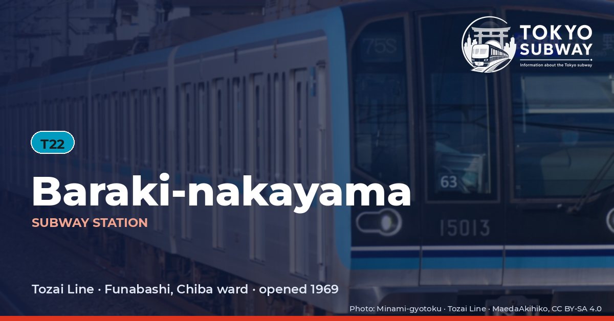
Finding Baraki-nakayama on the signs
Every line gives the station its own letter-and-number code. You never have to read the Japanese name to find the right platform.
Station numbers at Baraki-nakayama
Tokyo signposts every platform, exit and train door with a letter and a two-digit number. Matching the number is faster than reading the name — and it is what you will see on the map, in announcements and on the platform edge.
First and last trains at Baraki-nakayama
Departure times come from the operators’ own GTFS timetables (ODPT GTFS Toei-Train-GTFS (version 20261009, valid 2026-03-14..2027-03-12) + TokyoMetro-Train-GTFS (version 20261008, valid 2026-09-19..2027-03-12)). Japan publishes two subway timetables: 平日 weekdays and 土休日 Saturdays, Sundays and national holidays. There is no separate Sunday timetable, and the December 30 – January 3 period runs the holiday timetable.
How often do trains run?
| Line | Weekdays, busiest hour | Sat / Sun / holidays, busiest hour |
|---|---|---|
| TTozai | 15 trains/hour (about one every 4 min) | 12 trains/hour |
Departures in one direction during the hour with the most trains at this station, counted in the operators’ timetable.
Next stations from Baraki-nakayama
Scheduled running time between Baraki-nakayama and the stations either side of it.
| Line | Next station | Running time |
|---|---|---|
| TTozai | T21Myoden | 3 min |
| TTozai | T23Nishi-funabashi | 3 min |
Transfers and connections
Only the Tozai Line stops here, and no other railway serves this station, so there is nothing to transfer to inside the station.
Accessibility
| Line | Step-free by elevator | Accessible toilet | Escalator | Exits |
|---|---|---|---|---|
| TTozai | Yes | Yes | Yes | 2 |
- Tozai Line: Step-free elevator route street-gate-platform (official “1-route by elevator”). Operator page (checked Oct 20, 2026).
Taken from the operators’ own accessibility pages and nothing else. Tokyo Metro: the “1-route” (step-free street-gate-platform path by elevator, slope, stair lift or wheelchair escalator) is complete at all 180 stations; a separate list shows stations with an elevator-only 1-route.
What is near Baraki-nakayama Station?
Funabashi’s Motonakayama district is what you step out into, a tangle of narrow streets with the Ichikawa boundary close by, which is why residents of both cities use the station. Ogurihara East Park sits about 40 m from the exits, Ogurihara West Park roughly 110 m and Ogurihara Central Park around 250 m, with the Shinatsu branch library of Ichikawa about 170 m away. Expressway junctions ring the area, and the nearest JR stations are a long walk rather than a transfer.
| Place | Distance (straight line) | On foot, estimated |
|---|---|---|
| Ogurihara East Park 小栗原東公園 | 40 m | about 1 min |
| Ogurihara West Park 小栗原西公園 | 110 m | about 2 min |
| Ogurihara Central Park 小栗原中央公園 | 250 m | about 4 min |
| 市川市信篤図書館 | 170 m | about 3 min |
Places from OpenStreetMap within 400 m of the station. The walking time is an estimate (straight line plus 30 %, 80 m a minute), not a measured route. © OpenStreetMap contributors, ODbL.