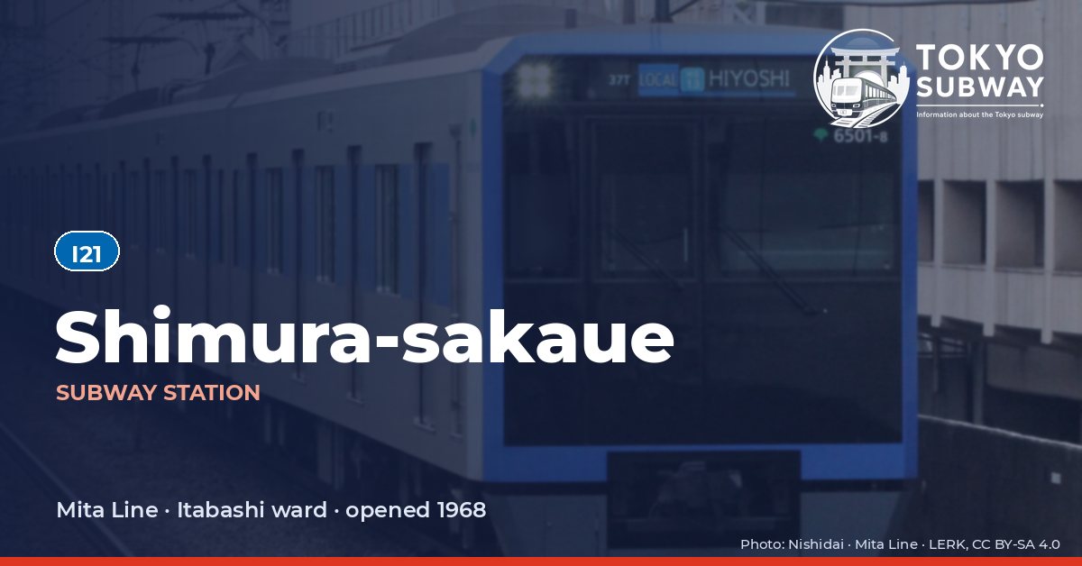
Shimura-sakaue Station
I21 · Mita Line · Itabashi
Shimura-sakaue Station (志村坂上)
Towards Nishi-takashimadaira, Shimura-sakaue is the last station the Mita Line serves from below ground: the tunnel mouth is at the end of the platform, and the line climbs onto a viaduct before the next stop. Two side platforms serve it, with a staffed ticket hall at each end — A1 and A2 at the Shimura Ichirizuka crossing, A3 and A4 at the Shimura-sakaue crossing — and for decades the platforms kept the look they had on opening day, until a refit in 2013 replaced the illuminated name boards and the wall finish with the style used at Mita.
The station opened on 27 December 1968 with the first stretch of Toei Line 6, renamed the Mita Line in 1978; the provisional name during construction was Shimura-itchome. Toei counted 30,150 passengers a day at I21 in 2024.
Finding Shimura-sakaue on the signs
Every line gives the station its own letter-and-number code. You never have to read the Japanese name to find the right platform.
Station numbers at Shimura-sakaue
Tokyo signposts every platform, exit and train door with a letter and a two-digit number. Matching the number is faster than reading the name — and it is what you will see on the map, in announcements and on the platform edge.
First and last trains at Shimura-sakaue
Departure times come from the operators’ own GTFS timetables (ODPT GTFS Toei-Train-GTFS (version 20261009, valid 2026-03-14..2027-03-12) + TokyoMetro-Train-GTFS (version 20261008, valid 2026-09-19..2027-03-12)). Japan publishes two subway timetables: 平日 weekdays and 土休日 Saturdays, Sundays and national holidays. There is no separate Sunday timetable, and the December 30 – January 3 period runs the holiday timetable.
How often do trains run?
| Line | Weekdays, busiest hour | Sat / Sun / holidays, busiest hour |
|---|---|---|
| IMita | 19 trains/hour (about one every 3.2 min) | 11 trains/hour |
Departures in one direction during the hour with the most trains at this station, counted in the operators’ timetable.
Next stations from Shimura-sakaue
Scheduled running time between Shimura-sakaue and the stations either side of it.
| Line | Next station | Running time |
|---|---|---|
| IMita | I20Motohasunuma | 1 min |
| IMita | I22Shimura-sanchome | 2 min |
Transfers and connections
Only the Mita Line stops here, and no other railway serves this station, so there is nothing to transfer to inside the station.
Accessibility
| Line | Step-free by elevator | Accessible toilet | Escalator | Exits |
|---|---|---|---|---|
| IMita | Yes | Yes | Yes | 4 |
- Mita Line: Toei: step-free “1-route” secured; 3 elevator(s) on this line. Elevator exit(s): A3. Operator page (checked Oct 20, 2026).
Taken from the operators’ own accessibility pages and nothing else. Toei: every station has elevators and a street-gate-platform “1-route” is secured.
What is near Shimura-sakaue Station?
The Shimura Ichirizuka, an Edo-period distance marker on the old Nakasendo highway, stands at one of the crossings the station serves, a reminder that this was a stop on the road to Kyoto long before it was a stop on the subway. Itabashi Central General Hospital is about 160 m from the exits and the ward’s Shimura-sakaue district office about 100 m, while Azusawa Park, Mitsugi Park and the Yakushi no Izumi garden lie between roughly 300 and 360 m away. Two phone shops mark the small shopping strip above.
| Place | Distance (straight line) | On foot, estimated |
|---|---|---|
| 総泉寺 | 270 m | about 4 min |
| 延命寺 | 300 m | about 5 min |
| shimuraNo.3Park 志村第三公園 | 290 m | about 5 min |
| Azusawa Park 小豆沢公園 | 300 m | about 5 min |
| Yakushi no Izumi Park 薬師の泉庭園 | 350 m | about 6 min |
| Mitsugi Park 見次公園 | 360 m | about 6 min |
| 志村清水坂緑地 | 390 m | about 6 min |
| SoftBank ソフトバンクショップ | 100 m | about 2 min |
Places from OpenStreetMap within 400 m of the station. The walking time is an estimate (straight line plus 30 %, 80 m a minute), not a measured route. © OpenStreetMap contributors, ODbL.
Frequently asked questions
Almost. The portal sits at the Nishi-takashimadaira end of the platforms, so trains emerge just after Shimura-sakaue and run the rest of the way to the terminus on a viaduct. The next station, Shimura-sanchome, is already above ground.
A distance marker from the Edo period, set beside the Nakasendo highway that linked Edo with Kyoto. It stands at the crossing served by the A1 and A2 exits, and it marks the role this area played as a staging point on the road, which is what made Itabashi prosper.