Nishi-kasai Station
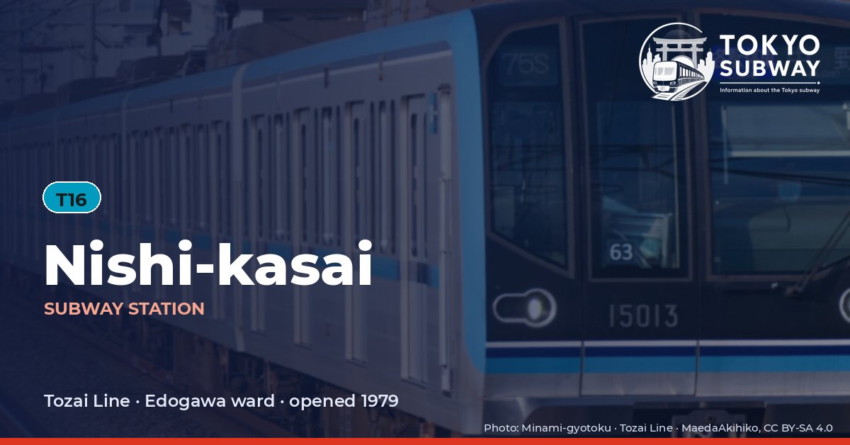
T16 · Tozai Line · Edogawa
Nishi-kasai Station (西葛西)
When the Tozai Line was built out to Chiba in 1969 this land was empty, so no station was provided — but the viaduct was designed to take one and the site was kept. Reclamation offshore and a wave of house building changed the arithmetic, local residents and the land readjustment association pressed for a stop, work began in November 1977, and T16 opened on 1 October 1979 at a cost of about ¥1.29 billion.
It was almost immediately too small: within a few years the station was handling three times the traffic it had been designed for. Edogawa ward pushed Tokyo Metro’s predecessor for a rebuild, and between March 1999 and March 2000 some ¥2.22 billion went on widening the platforms from a maximum of 6.25 m to 8.5 m, enlarging and moving the stairs and fitting LED destination displays. Underground bicycle parks opened at both entrances in 1999 and 2000, with room for about 4,500 machines. Solar panels followed in 2013 and platform doors on 16 April 2022.
Finding Nishi-kasai on the signs
Every line gives the station its own letter-and-number code. You never have to read the Japanese name to find the right platform.
Station numbers at Nishi-kasai
Tokyo signposts every platform, exit and train door with a letter and a two-digit number. Matching the number is faster than reading the name — and it is what you will see on the map, in announcements and on the platform edge.
First and last trains at Nishi-kasai
Departure times come from the operators’ own GTFS timetables (ODPT GTFS Toei-Train-GTFS (version 20261009, valid 2026-03-14..2027-03-12) + TokyoMetro-Train-GTFS (version 20261008, valid 2026-09-19..2027-03-12)). Japan publishes two subway timetables: 平日 weekdays and 土休日 Saturdays, Sundays and national holidays. There is no separate Sunday timetable, and the December 30 – January 3 period runs the holiday timetable.
How often do trains run?
| Line | Weekdays, busiest hour | Sat / Sun / holidays, busiest hour |
|---|---|---|
| TTozai | 24 trains/hour (about one every 2.5 min) | 12 trains/hour |
Departures in one direction during the hour with the most trains at this station, counted in the operators’ timetable.
Next stations from Nishi-kasai
Scheduled running time between Nishi-kasai and the stations either side of it.
| Line | Next station | Running time |
|---|---|---|
| TTozai | T17Kasai | 3 min |
| TTozai | T15Minami-sunamachi | 4 min |
Transfers and connections
Only the Tozai Line stops here, and no other railway serves this station, so there is nothing to transfer to inside the station.
Accessibility
| Line | Step-free by elevator | Accessible toilet | Escalator | Exits |
|---|---|---|---|---|
| TTozai | Yes | Yes | Yes | 2 |
- Tozai Line: Step-free elevator route street-gate-platform (official “1-route by elevator”). Street elevator at exit(s): 南口. Operator page (checked Oct 20, 2026).
Taken from the operators’ own accessibility pages and nothing else. Tokyo Metro: the “1-route” (step-free street-gate-platform path by elevator, slope, stair lift or wheelchair escalator) is complete at all 180 stations; a separate list shows stations with an elevator-only 1-route.
What is near Nishi-kasai Station?
The station’s own arcades do much of the local trade: four Metro Center shopping rows run from about 40 m to 230 m from the gates. Nishi Kasai library is roughly 300 m away, a junior high school about 320 m, the Edogawa city baseball ground around 360 m and a hospital some 310 m, with two vocational colleges within 400 m. The Edogawa ward natural zoo and the Shinsakongawa water park are the other places the station is used for, and Kasai is the next stop along.
| Place | Distance (straight line) | On foot, estimated |
|---|---|---|
| メトロセンター2番街 | 40 m | about 1 min |
| メトロセンター1番街 | 90 m | about 1 min |
| メトロセンター3番街 | 130 m | about 2 min |
| メトロセンター4番街 | 230 m | about 4 min |
| 子供の広場 | 240 m | about 4 min |
| 五之割公園 | 320 m | about 5 min |
| Mizuho みずほ銀行 | 60 m | about 1 min |
| Nishi Kasai Junior High School 江戸川区立西葛西中学校 | 320 m | about 5 min |
Places from OpenStreetMap within 400 m of the station. The walking time is an estimate (straight line plus 30 %, 80 m a minute), not a measured route. © OpenStreetMap contributors, ODbL.
Frequently asked questions
There was nothing here in 1969. The viaduct was built with provision for a future station and the land was held in reserve; once the Kasai offshore reclamation and the housing that followed had filled the area, the station was built, opening on 1 October 1979.
Because it was carrying about three times the traffic it had been planned for. Work from March 1999 to March 2000, costing roughly ¥2.22 billion, widened the platforms to 8.5 m from a maximum of 6.25 m, moved and widened the stairs and added electronic displays; underground cycle parks for some 4,500 bicycles were built at the same time.