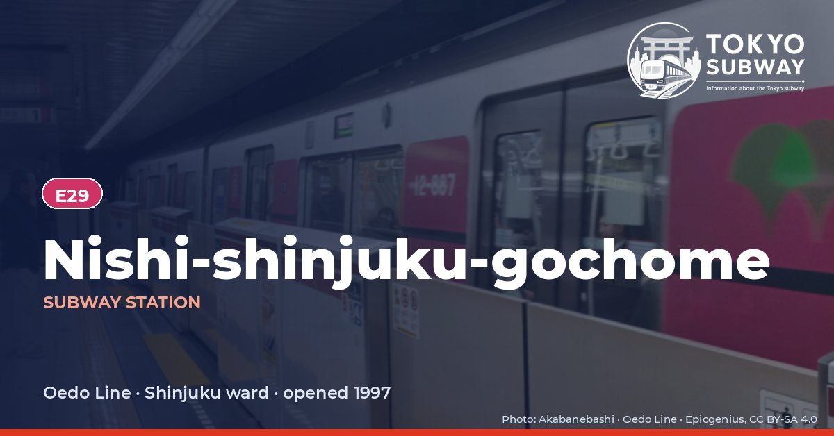
Nishi-shinjuku-gochome Station
E29 · Oedo Line · Shinjuku
Nishi-shinjuku-gochome Station (西新宿五丁目)
This station exists because the Tokyo Metropolitan Government moved house. The Oedo Line was first planned to run from Nakano-sakaue to Shinjuku along the Ome-kaido, directly beneath the Marunouchi Line; once the government decided to build its new headquarters in Nishi-shinjuku, the route was bent by way of the Shimizubashi crossing, Shinjuku Central Park and the government buildings, and a station was inserted on the new alignment. E29 opened on 19 December 1997, when the line was still Toei Line 12.
Its name is a mouthful — twelve kana, the longest reading of any station in the Tokyo subway — and the works had planned to call it Junisho. The official secondary name is Shimizubashi, after a bridge that carried a road over the Izumi river, a tributary of the Kanda culverted in 1964 and now a footpath; the bridge survives only as the name of the crossing, which is in Shibuya ward although the station is in Shinjuku. Platform doors came into use on 27 April 2013, the last on the line.
Finding Nishi-shinjuku-gochome on the signs
Every line gives the station its own letter-and-number code. You never have to read the Japanese name to find the right platform.
Station numbers at Nishi-shinjuku-gochome
Tokyo signposts every platform, exit and train door with a letter and a two-digit number. Matching the number is faster than reading the name — and it is what you will see on the map, in announcements and on the platform edge.
First and last trains at Nishi-shinjuku-gochome
Departure times come from the operators’ own GTFS timetables (ODPT GTFS Toei-Train-GTFS (version 20261009, valid 2026-03-14..2027-03-12) + TokyoMetro-Train-GTFS (version 20261008, valid 2026-09-19..2027-03-12)). Japan publishes two subway timetables: 平日 weekdays and 土休日 Saturdays, Sundays and national holidays. There is no separate Sunday timetable, and the December 30 – January 3 period runs the holiday timetable.
How often do trains run?
| Line | Weekdays, busiest hour | Sat / Sun / holidays, busiest hour |
|---|---|---|
| EOedo | 20 trains/hour (about one every 3 min) | 12 trains/hour |
Departures in one direction during the hour with the most trains at this station, counted in the operators’ timetable.
Next stations from Nishi-shinjuku-gochome
Scheduled running time between Nishi-shinjuku-gochome and the stations either side of it.
| Line | Next station | Running time |
|---|---|---|
| EOedo | E30Nakano-sakaue | 2 min |
| EOedo | E28Tochomae | 2 min |
Transfers and connections
Only the Oedo Line stops here, and no other railway serves this station, so there is nothing to transfer to inside the station.
Accessibility
| Line | Step-free by elevator | Accessible toilet | Escalator | Exits |
|---|---|---|---|---|
| EOedo | Yes | Yes | Yes | 2 |
- Oedo Line: Toei: step-free “1-route” secured; 2 elevator(s) on this line. Elevator exit(s): A1. Operator page (checked Oct 20, 2026).
Taken from the operators’ own accessibility pages and nothing else. Toei: every station has elevators and a street-gate-platform “1-route” is secured.
What is near Nishi-shinjuku-gochome Station?
Behind the towers, this is a residential slice of west Shinjuku with a small shopping center of its own. Juniso Kumano Shrine is about 330 m from the exits, the Nikenya playground roughly 160 m, and six or seven other small parks lie within 350 m. The Graduate School of Film Producing is around 270 m away, Kanto International Senior High School about 300 m, Eco Gallery Shinjuku and the Hatsudai Rehabilitation Hospital some 390 m, and Shinjuku Central Park is among the places the station serves.
| Place | Distance (straight line) | On foot, estimated |
|---|---|---|
| Juniso Kumano Shrine 十二社熊野神社 | 330 m | about 5 min |
| Nikenya Playground 二軒屋公園 | 160 m | about 3 min |
| Graduate School of Film Producing 映画専門大学院大学 | 270 m | about 4 min |
| 新宿区立十二社児童遊園 | 140 m | about 2 min |
| 二軒屋児童公園 | 160 m | about 3 min |
| はごろも児童遊園 | 300 m | about 5 min |
| 渋谷本町ポケットパーク | 300 m | about 5 min |
| 渋谷区立 二軒屋ふるさと公園 | 330 m | about 5 min |
Places from OpenStreetMap within 400 m of the station. The walking time is an estimate (straight line plus 30 %, 80 m a minute), not a measured route. © OpenStreetMap contributors, ODbL.
Frequently asked questions
The route was changed for the Metropolitan Government. The original plan ran straight along the Ome-kaido to Shinjuku; when the government moved to Nishi-shinjuku, the line was rerouted through the Shimizubashi area, Shinjuku Central Park and Tochomae, and this station was added between Nakano-sakaue and the government buildings.
A bridge that no longer exists. Shimizubashi crossed the Izumi river, a tributary of the Kanda that was culverted in 1964 and is now a walkway; the name survives at the road junction beside the station, which lies in Shibuya ward even though the station itself is in Shinjuku.