
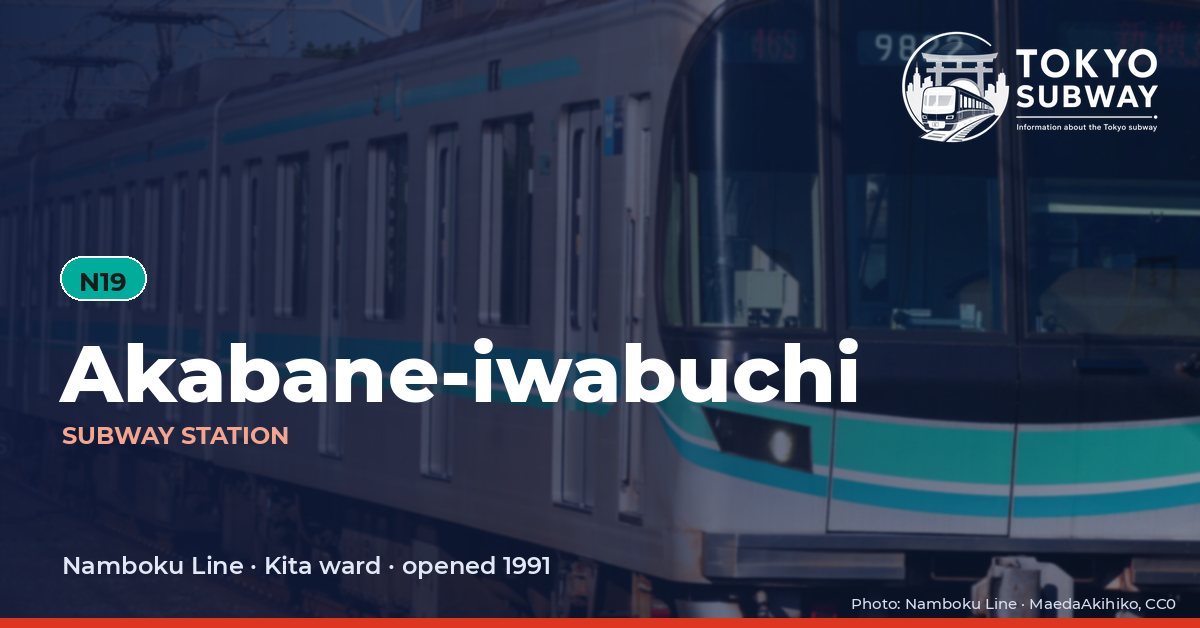
Akabane-iwabuchi Station
N19 · Namboku Line · Kita
Akabane-iwabuchi Station (赤羽岩淵)
The northern end of the Namboku Line is a terminus that most trains treat as a waypoint: services reaching N19 carry straight on to the Saitama Railway Line toward Urawa-Misono, which opened northward from here on 28 March 2001. The subway platforms themselves came first, opened by the Teito Rapid Transit Authority on 29 November 1991 and inherited by Tokyo Metro when the authority was privatized in 2004.
The layout is tight and vertical. Ticket machines and gates occupy the second basement level, the tracks sit one floor below, and the single island platform between them is enclosed by full-height platform screen doors. Southbound journeys have grown considerably longer since the timetable revision of 18 March 2023, when through services began onto the Sagami Railway by way of the Tokyu and Sotetsu Shin-Yokohama Line: trains carrying on past Hiyoshi now run as far as Shin-Yokohama and Ebina, so a destination board at this suburban terminus can name a town in Kanagawa. Tokyo Metro counted 99,276 entries and exits on an average day in its 2025 survey.
Finding Akabane-iwabuchi on the signs
Every line gives the station its own letter-and-number code. You never have to read the Japanese name to find the right platform.
Station numbers at Akabane-iwabuchi
Tokyo signposts every platform, exit and train door with a letter and a two-digit number. Matching the number is faster than reading the name — and it is what you will see on the map, in announcements and on the platform edge.
First and last trains at Akabane-iwabuchi
| Line and direction | Weekdays first – last | Saturdays, Sundays & holidays first – last |
|---|---|---|
| NNambokuN19 towards Meguro | 05:01 – 00:26 to Komagome | 05:01 – 00:16 to Komagome |
Departure times come from the operators’ own GTFS timetables (ODPT GTFS Toei-Train-GTFS (version 20261009, valid 2026-03-14..2027-03-12) + TokyoMetro-Train-GTFS (version 20261008, valid 2026-09-19..2027-03-12)). Japan publishes two subway timetables: 平日 weekdays and 土休日 Saturdays, Sundays and national holidays. There is no separate Sunday timetable, and the December 30 – January 3 period runs the holiday timetable.
How often do trains run?
| Line | Weekdays, busiest hour | Sat / Sun / holidays, busiest hour |
|---|---|---|
| NNamboku | 15 trains/hour (about one every 4 min) | 11 trains/hour |
Departures in one direction during the hour with the most trains at this station, counted in the operators’ timetable.
Transfers and connections
- Other railways: Saitama Railway Line (Saitama Railway). These are separate railways with their own fares.
Accessibility
| Line | Step-free by elevator | Accessible toilet | Escalator | Exits |
|---|---|---|---|---|
| NNamboku | Yes | Yes | Yes | 3 |
- Namboku Line: Step-free elevator route street-gate-platform (official “1-route by elevator”). Street elevator at exit(s): 1. Operator page (checked Oct 20, 2026).
Taken from the operators’ own accessibility pages and nothing else. Tokyo Metro: the “1-route” (step-free street-gate-platform path by elevator, slope, stair lift or wheelchair escalator) is complete at all 180 stations; a separate list shows stations with an elevator-only 1-route.
What is near Akabane-iwabuchi Station?
Street level is the Iwabuchi side of Kita ward, near the Arakawa river, with Akabane Station on the JR lines roughly 400 m away. Yakumo-jinja Shrine stands about the same distance from the exits, and Seibi Gakuen College and a cluster of elementary schools, including Iwabuchi Elementary School, are among the places the station serves. A good share of the movement through the gates is people changing between Tokyo Metro and Saitama Railway trains rather than coming up to the street at all, and the nearest subway stop in the other direction is Shimo.
| Place | Distance (straight line) | On foot, estimated |
|---|---|---|
| Yakumo-jinja Shrine 八雲神社 | 400 m | about 6 min |
| 大満寺 | 90 m | about 1 min |
| 梅王寺 | 190 m | about 3 min |
| 寶幢院 | 330 m | about 5 min |
| 赤羽東公園 | 240 m | about 4 min |
Places from OpenStreetMap within 400 m of the station. The walking time is an estimate (straight line plus 30 %, 80 m a minute), not a measured route. © OpenStreetMap contributors, ODbL.