
Honancho Station
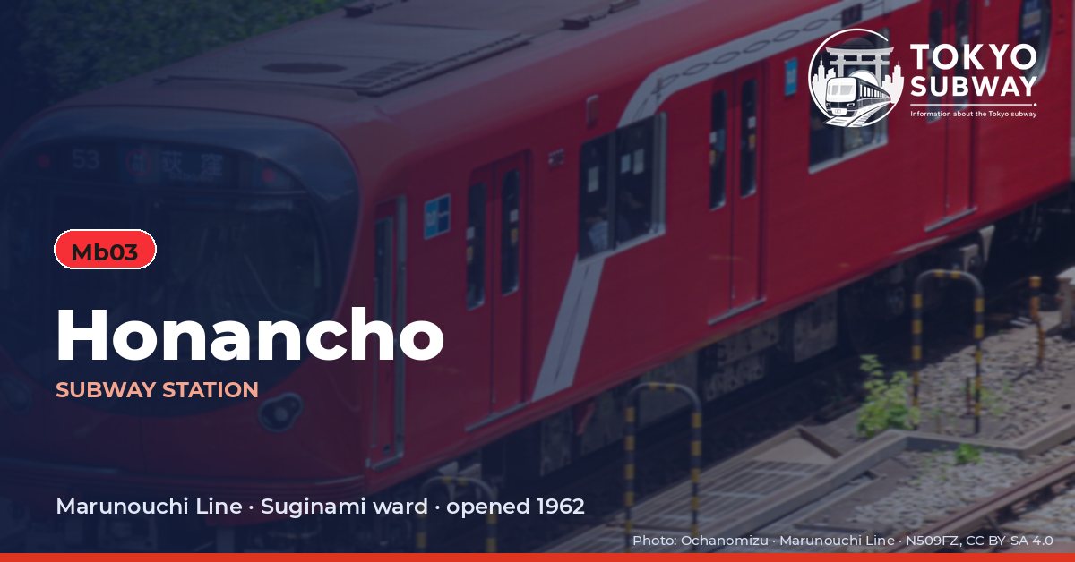
Mb03 · Marunouchi Line · Suginami
Honancho Station (方南町)
Honancho is the end of a line within a line: the 3.2 km branch of the Marunouchi Line that leaves the main route at Nakano-sakaue, which is why its number is Mb03 rather than a plain M. It opened on 23 March 1962, and for most of its life the branch was a self-contained shuttle worked by short trains.
That changed with the platform. Work began in 2013 to lengthen the platform edge doors for six-car trains, and from fiscal 2017 services have been able to run through from here onto the main line toward Ikebukuro rather than making every passenger change at the junction. The station is a single island platform on the second basement level with two entrances at opposite ends, one reaching the concourse on the same level at the terminating end, the other coming down to a concourse one floor higher. The 2025 survey counted 42,420 entries and exits on an average day, a solid figure for a branch terminus in a quiet part of Suginami.
Finding Honancho on the signs
Every line gives the station its own letter-and-number code. You never have to read the Japanese name to find the right platform.
Station numbers at Honancho
Tokyo signposts every platform, exit and train door with a letter and a two-digit number. Matching the number is faster than reading the name — and it is what you will see on the map, in announcements and on the platform edge.
First and last trains at Honancho
| Line and direction | Weekdays first – last | Saturdays, Sundays & holidays first – last |
|---|---|---|
| MMarunouchiMb03 towards Ikebukuro | 05:00 – 00:09 | 05:00 – 00:09 |
Departure times come from the operators’ own GTFS timetables (ODPT GTFS Toei-Train-GTFS (version 20261009, valid 2026-03-14..2027-03-12) + TokyoMetro-Train-GTFS (version 20261008, valid 2026-09-19..2027-03-12)). Japan publishes two subway timetables: 平日 weekdays and 土休日 Saturdays, Sundays and national holidays. There is no separate Sunday timetable, and the December 30 – January 3 period runs the holiday timetable.
How often do trains run?
| Line | Weekdays, busiest hour | Sat / Sun / holidays, busiest hour |
|---|---|---|
| MMarunouchi | 13 trains/hour (about one every 4.6 min) | 10 trains/hour |
Departures in one direction during the hour with the most trains at this station, counted in the operators’ timetable.
Next stations from Honancho
Scheduled running time between Honancho and the stations either side of it.
| Line | Next station | Running time |
|---|---|---|
| MMarunouchi | Mb04Nakano-fujimicho | 2 min |
Transfers and connections
Only the Marunouchi Line stops here, and no other railway serves this station, so there is nothing to transfer to inside the station.
Accessibility
| Line | Step-free by elevator | Accessible toilet | Escalator | Exits |
|---|---|---|---|---|
| MMarunouchi | Yes | Yes | Yes | 4 |
- Marunouchi Line: Step-free elevator route street-gate-platform (official “1-route by elevator”). Operator page (checked Oct 20, 2026).
Taken from the operators’ own accessibility pages and nothing else. Tokyo Metro: the “1-route” (step-free street-gate-platform path by elevator, slope, stair lift or wheelchair escalator) is complete at all 180 stations; a separate list shows stations with an elevator-only 1-route.
What is near Honancho Station?
The Honan Ginza shopping street begins right at the exits, about 40 m away, and is the reason much of the local traffic uses this station rather than walking elsewhere. The Kanda river runs nearby, with a green strip along it roughly 370 m off, and Honan Park and the Honan 2-chome park are both around 300 m. The station serves the Izumi health centre and several schools, among them Honan Elementary School and two junior high schools, and a home improvement store stands about 350 m from the gates.
| Place | Distance (straight line) | On foot, estimated |
|---|---|---|
| 方南銀座商店街 | 40 m | about 1 min |
| 方南二丁目公園 | 290 m | about 5 min |
| 方南公園 | 300 m | about 5 min |
| 上水橋緑地 | 370 m | about 6 min |
| Shimachu HOME'S ホームズ | 350 m | about 6 min |
Places from OpenStreetMap within 400 m of the station. The walking time is an estimate (straight line plus 30 %, 80 m a minute), not a measured route. © OpenStreetMap contributors, ODbL.