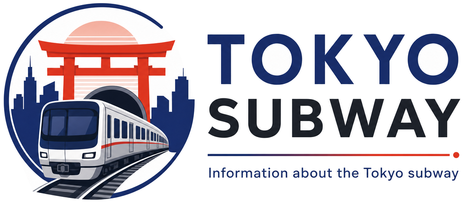
Kojimachi Station
Y15 · Yurakucho Line · Chiyoda
Kojimachi Station (麴町)
The street above decided the shape of this station. Because the road over the tunnel in Kojimachi is narrow, the Teito Rapid Transit Authority could not lay two tracks side by side, so when Y15 opened on 30 October 1974 it was built on three levels: a concourse and ticket gates on the first basement, platform 1 one level below, and platform 2 a level below that, each a single side platform on the right-hand side of the direction of travel. Passengers cannot move from one platform to the other without going back up to the concourse.
Little else has been altered. Platform doors came into use on 12 November 2011, and the station passed from the authority to Tokyo Metro with the rest of the network in 2004. Yurakucho Line trains here run through to Seibu and Tobu tracks beyond the subway, so the destinations on the front of a train in this quiet Chiyoda cutting are often suburbs well outside Tokyo; Ichigaya and Nagatacho are the stations on either side.
Finding Kojimachi on the signs
Every line gives the station its own letter-and-number code. You never have to read the Japanese name to find the right platform.
Station numbers at Kojimachi
Tokyo signposts every platform, exit and train door with a letter and a two-digit number. Matching the number is faster than reading the name — and it is what you will see on the map, in announcements and on the platform edge.
First and last trains at Kojimachi
| Line and direction | Weekdays first – last | Saturdays, Sundays & holidays first – last |
|---|---|---|
| YYurakuchoY15 towards Shin-kiba | 05:13 – 00:13 | 05:13 – 00:13 |
| YYurakuchoY15 towards Wakoshi | 05:18 – 00:19 to Ikebukuro | 05:18 – 00:19 to Ikebukuro |
Departure times come from the operators’ own GTFS timetables (ODPT GTFS Toei-Train-GTFS (version 20261009, valid 2026-03-14..2027-03-12) + TokyoMetro-Train-GTFS (version 20261008, valid 2026-09-19..2027-03-12)). Japan publishes two subway timetables: 平日 weekdays and 土休日 Saturdays, Sundays and national holidays. There is no separate Sunday timetable, and the December 30 – January 3 period runs the holiday timetable.
How often do trains run?
| Line | Weekdays, busiest hour | Sat / Sun / holidays, busiest hour |
|---|---|---|
| YYurakucho | 22 trains/hour (about one every 2.7 min) | 12 trains/hour |
Departures in one direction during the hour with the most trains at this station, counted in the operators’ timetable.
Next stations from Kojimachi
Scheduled running time between Kojimachi and the stations either side of it.
| Line | Next station | Running time |
|---|---|---|
| YYurakucho | Y14Ichigaya | 2 min |
| YYurakucho | Y16Nagatacho | 2 min |
Transfers and connections
Only the Yurakucho Line stops here, and no other railway serves this station, so there is nothing to transfer to inside the station.
Accessibility
| Line | Step-free by elevator | Accessible toilet | Escalator | Exits |
|---|---|---|---|---|
| YYurakucho | See note | Not listed | Not listed | — |
Taken from the operators’ own accessibility pages and nothing else. Tokyo Metro: the “1-route” (step-free street-gate-platform path by elevator, slope, stair lift or wheelchair escalator) is complete at all 180 stations; a separate list shows stations with an elevator-only 1-route.
What is near Kojimachi Station?
Kojimachi serves a stretch of Chiyoda ward given over to offices, schools and colleges rather than shopping. Two graduate business schools stand within 250 m of the exits, Kojimachi Gakuen about 150 m away and a municipal elementary school roughly 220 m. Shimizudani Park, some 340 m out, and the Shimizudani slope beside it are the nearest green space, with Shimpo-ji temple about 390 m away.
| Place | Distance (straight line) | On foot, estimated |
|---|---|---|
| Shimizudani Park 清水谷公園 | 340 m | about 6 min |
| Shimpo-ji Temple 心法寺 | 390 m | about 6 min |
| Shimizudani Valley 清水谷 | 380 m | about 6 min |
| グロービス経営大学院大学(東京校) | 80 m | about 1 min |
| 日本教育大学院大学 | 230 m | about 4 min |
| Saint gobain | 310 m | about 5 min |
| 仲良し公園 | 340 m | about 6 min |
| ビジネス・ブレークスルー大学院大学 | 390 m | about 6 min |
Places from OpenStreetMap within 400 m of the station. The walking time is an estimate (straight line plus 30 %, 80 m a minute), not a measured route. © OpenStreetMap contributors, ODbL.
Frequently asked questions
The road above is too narrow for a conventional side-by-side layout, so the tunnels were stacked. Platform 1 is on the second basement level and platform 2 on the third, and the only connection between them is through the concourse on the first basement level.
Each level has one platform, placed on the right-hand side of the track in the direction trains run, so you choose your level before you go down rather than after. Check the signs at the gates: there is no cross-platform change once you are on the wrong one.